














CleartrailReport litter
Cleartrail
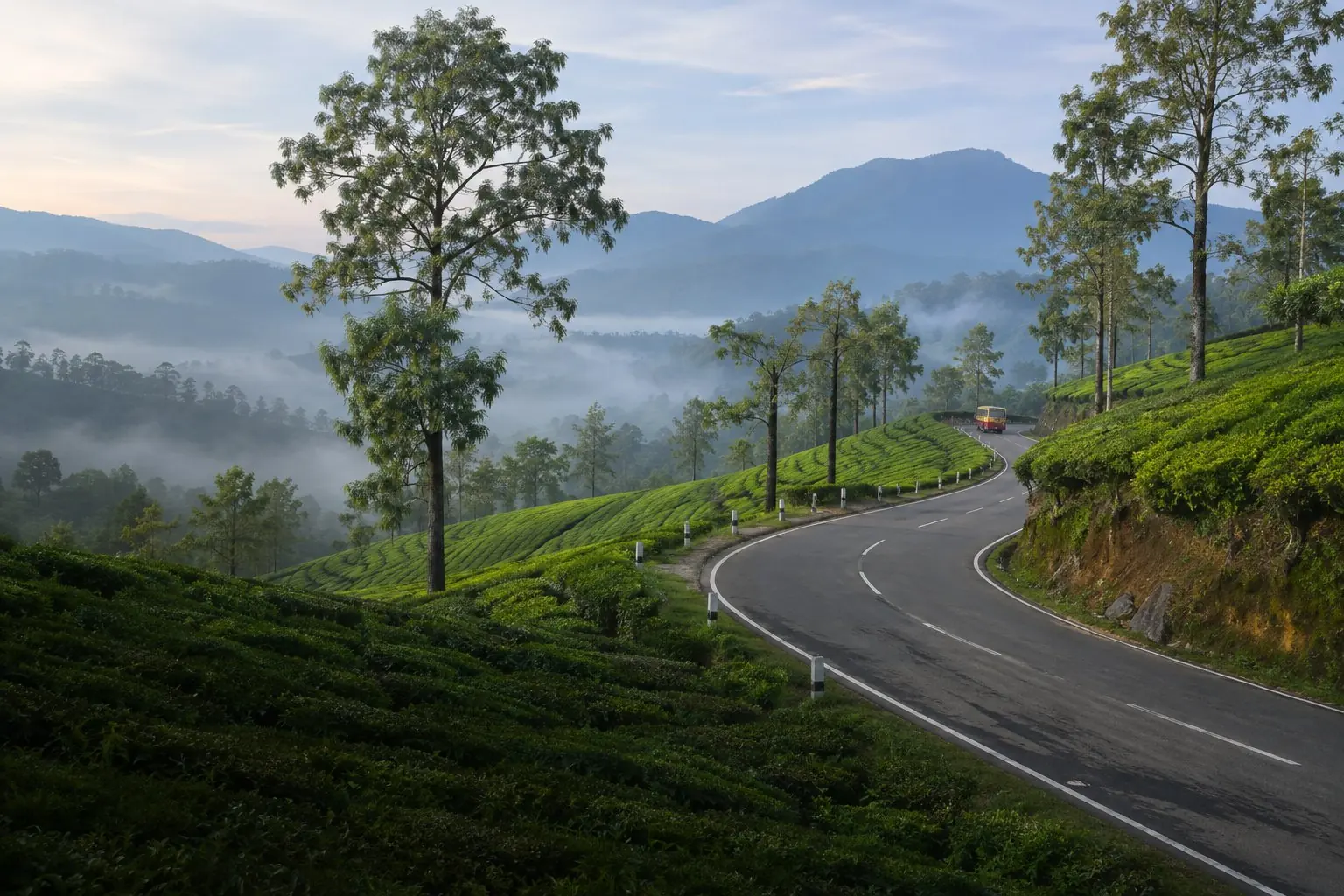
Illustration: a road winding through misty tea estates
Munnar · മൂന്നാർ

Same views, a cleaner tomorrow.

A public litter map for Greater Munnar. Report a spot, audit a road and see whether the cleanup held.

Pilot areaMunnar to Top Station36.2km73 segments1 community report, no hotspots yet. No audits yet
4Pilot routes
73Fixed segments
36.2kmRoad to count
500mStandard segment

See where care
is needed.

One public map for the whole pilot area. Community reports and standardised audits will sit side by side, and are never blended. So far there is 1 community report, and no audits.

Open the map
Pilot areaRouteWhere a route begins or ends
Reports and auditsAudits not started

1 community report, no audits yet

No hotspots yet: a hotspot is a fixed segment with two or more reports. Reports are not measured. Each of the 73 segments gets a Munnar Litter Index from 0 to 100 once it has been audited. Higher is worse.

LowModerateHighSevere

Method v1See the routes
  1. 01കണ്ടെത്തുകReports find the spots

    Anyone can pin litter, dumping or a full bin with one photo.

  2. 02അളക്കുകAudits measure the roads

    Trained auditors count every item on fixed segments of 500 m.

  3. 03ഉറപ്പാക്കുകRepeat audits prove the fix

    The same segment, counted again, shows whether a cleanup held.

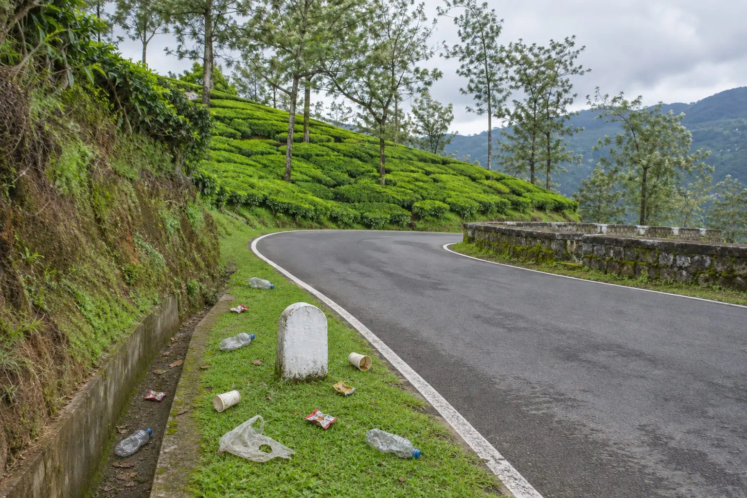
Illustration: litter on the verge of a road bend among tea estates
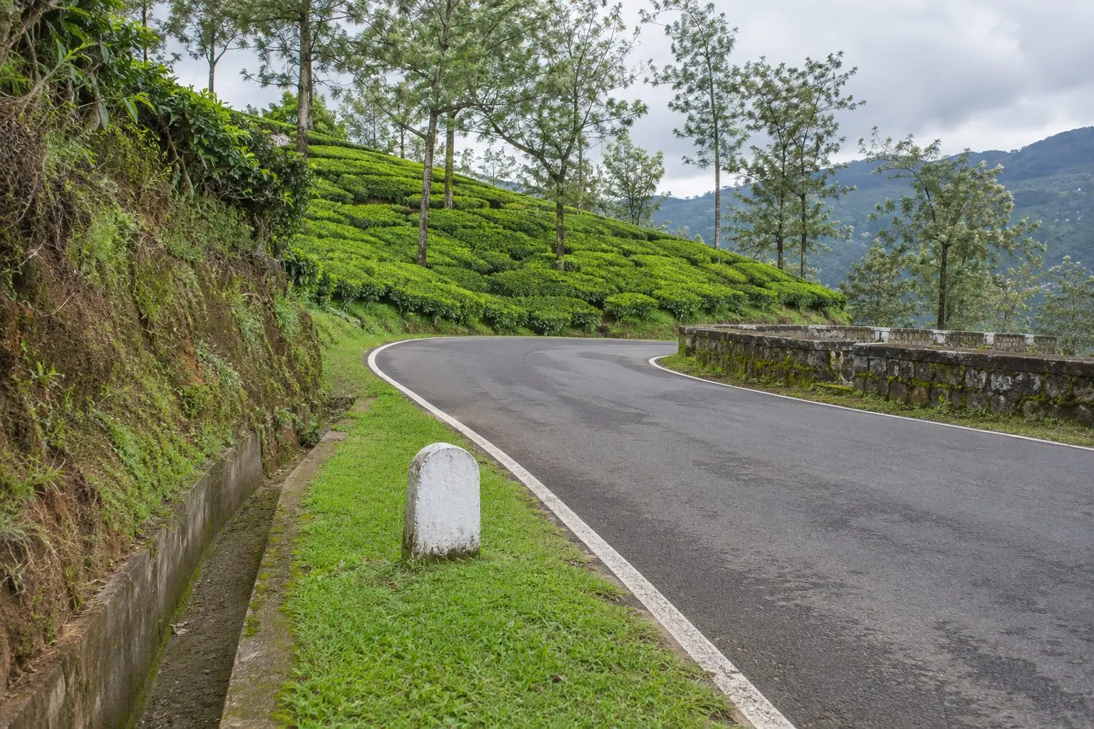
Illustration: the same road bend with a clean verge
Before · illustrationAfter · illustration
Illustration, not a real place

Same bend,
before and after.

A cleanup counts when the same segment, audited the same way, comes back cleaner. The first before and after from a real segment will be shown here.

നീലക്കുറിഞ്ഞിThese hills bloom blue again in 2030

നമ്മുടെ നാട്, നമ്മുടെ ഉത്തരവാദിത്തം

See it. Report it.
Help clear the way.

One photo and one location is enough to put a spot on the map.